We are looking for an Operations Director! Learn more and apply by March 6 for preferred application review.
ESIP Lab Funded Projects
The ESIP Lab funds a cohort of projects each year. Here are previously funded projects.
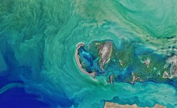
Photo by NASA
Past Projects
Climate Change and Community Impact
2024
Community-led, Opensource, Opportunities to Learn (COOL): Community HeatMapper and Resilience Builder in Minority Communities in Miami, FL
Amy Quarkume, Keith Maull, Agbeli Ameko, Jessica Moulite | Howard University
2024
Open Science Cloud Tools and Educational Materials for the Integration of nClimGrid – Daily and Social Vulnerability Index Datasets
Joshua Brinks, Thomas Parris | ISciences, LLC
Wildfire and Water Resources
2022
- GlacierStats: open source geostatistics software and educational materials in Python | Emma MacKie, University of Florida
- Explainable AI: An Applied Tutorial of Symbolic Regression for Earth Scientists | Etienne Chenevert, Indiana University
- DeepIceDrain – machine learning-powered low-latency ICESat-2 point cloud processing | Wei Ji Leong, Oregon State University
- High resolution predictions of global snow using recurrent neural networks | Andrew Bennett, University of Arizona
- Machine Learning for Flood Risk Assessment | Tom Narock, Goucher University
- Integrated Gradient Boosting Decision Trees and Deep Learning For Large-Scale SWE Estimation | Ryan Johnson, University of Alabama
2021
- Deep Learning based Submesoscale Ocean Eddy Detection on the Amazon Web Service Cloud | Jianwu Wang, University of Maryland, Baltimore County
- Comparison of Machine Learning Techniques for Predicting Complex Flows at the Breach of the Great Salt Lake | Som Dutta, Utah State University
- Developing a Cloud-based Open-Source Platform for an Automatic High-throughput Monitoring System to Safeguard Stream Water Quality | Tao Wen, Syracuse University
- Developing an Environmental Enforcement Data Portal | Kelsey Breseman, EDGI
- Piloting the OSDU platform for inter-state geological survey data management for synthetic 3D mapping initiatives | Gary Motz, Indiana Geological Survey
- Cloud-based Open Science Machine Learning Tutorials for Earth Science | Douglas Rao, NCICS
- A Geospatial-Natural Language Processing Analysis of the Snow Albedo Literature | Eric Sproles, Montana State University
- Auto-reconstruction of Inundation map using Deep Learning: Benchmarking with UDAR data | Trung Bao Le, North Dakota State University | ESIP Blog Post
- Modeling data and information needs for avian conservation using Neo4j | Brian Wee, Massive Connections
2020
- Developing Tutorials for Satellite Imagery Analysis using AWS Open Data and Cloud-Native Workflows | Amanda Tan, University of Washington
- Developing an Open-Source Workflow and Toolset for Quantifying Lacustrine Sedimentation using Publicly Available Data | Jake Gearon, University of Texas | ESIP Blog Post
- Sensors and Microclimate in Snowy Alpine Environment | Martha Apple, Montana Technological University
- Open source data harmonization: beyond data entry | Kathe Todd-Brown, University of Florida | ESIP Blog Post
- Cloud based analytics for TerraFusion data | John Ready, HDF Group
- 2020 Science-On-Schema.Org Validator | Dave Vieglais, University of Kansas | ESIP News Story
2019
- Use of UAVs to assess satellite measurements of snow albedo in mountainous regions | Eric Sproles, Montana State University | ESIP Blog Post
- FAIRTool.org toward better Earth science data stewardship | Abdullah Alowairdhi, University of Idaho
- Improve conda-forge CI infrastructure and packages auto-updating dependencies | Rich Signell, USGS
- Deep optical wave gauging | Daniel Buscombe, Northern Arizona University | ESIP Blog Post
- Subaqueous Landslide Morphometrics Database and Website for Global Outreach and Data Collection | Zane Jobe, Colorado School of Mines
- Scalable Serverless Workflows for Processing Cubesat Imagery to Identify Flowering Hotspots in Sub Alpine Meadows | Amanda Tan, University of Washington | ESIP Blog Post
- A cloud-based community tool for ambient seismic noise analysis and monitoring with Julia | Dylan Mikesell, Boise State
- Community Open Data and Experimental Mesonet (CODE-M) | Agbeli Ameko, NCAR
2018
- Enabling the encoding and visualization of provenance metadata for better discovery and understanding of climate resilience strategies for agriculture-related decision-making | Brian Wee, Massive Connections
- ESIPhub: Developing and promoting an ESIP community resource for sharing and running scientific workflows via JupyterHub | Keith Maull, UCAR
- SensorDat: Real-time sensor testbed for improved provenance and data quality | Mike Daniels, UCAR
- Geoweaver: a web-based prototype system for managing compound geospatial workflows of large-scale distributed deep networks | Ziheng Sun
- Operational data provenance and cybersecurity for anticipatory disaster communication built on mesh networks | Christina Bandaragoda, University of Washington
- A deep-learning driven improved ensemble approach for hurricane forecasting | Yunsoo Choi, University of Houston
2017
- ESIPhub: Developing and promoting an ESIP community resource for sharing and running scientific workflows via JupyterHub | Sean Gordon
- Equipping OPeNDAP with data citation functionality | Niklas Griessbaum
- Enhancing sUAS Data with Semantic Technologies | Andrea Thomer
- Improve Earth Data Discovery through Deep Query Understanding | Yongyao Jiang
2016
- An Automatic Approach to Building Earth Science Knowledge Graph to Improve Data Discovery | Lewis McGibbney, NASA Jet Propulsion Laboratory | ESIP Blog Post
- Prototyping a Cloud-based High-Performance Spatial Web Portal for Parallel Analytics of Big Climate Data | Zhenlong Li, University of South Carolina
- Cloud-based computing for predicting streamflow in snowmelt-dominated watersheds | Anne Nolin, Oregon State University