Innovation to Impact. See you at the July ESIP Meeting.
Snow Covered Area & CubeSats

PI: NICOLETA CRISTEA, UNIVERSITY OF WASHINGTON
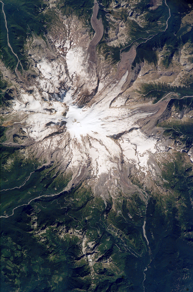
This project explored the use of machine learning and planet imagery to create high-spatiotemporal classification of snow covered areas at meter-scale spatial resolution.
Through the ESIP Lab project, the team:
- Generated snow masks across a California watershed using PlanetScope 4-band orthoimagery with NASA’s Airborne Snow Observatory LiDAR-derived snow depth data.
- Used a cloud-based Jupyterhub instance that integrated parallel-computation through Dask (i.e. the NSF-funded Pangeo project – http://pangeo.io) – this specific setup of Pangeo was built using Amazon Elastic Kubernetes Service (Amazon EKS) for cluster and container management and Amazon Elastic File Service (EFS) for storage.
- Used the scalability of the cloud by provisioning AWS EC2 instances (i.e. worker nodes) for computational workloads, GPUs for the ML pipeline, and Amazon S3 for storage.
Water managers, climate scientists, and ecologists could benefit from improved snow-covered area data.
PUBLICATIONS:
Featured in: Earth Science Information Partners: Promoting Innovation for Earth Science Data
PRESENTATIONS:
- AWS Public Sector Summit 2019 (start at minute 19:00)
- 2019 ESIP Summer Meeting


