Innovation to Impact. See you at the July ESIP Meeting.
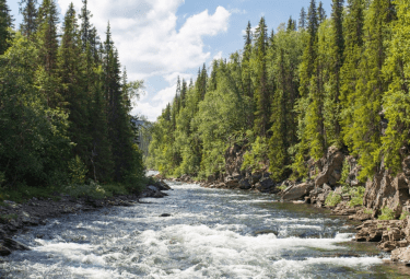
Deep Learning Around the (Icy) River Bend
ESIP in Action
Spring thaw is often a welcome shift. But as the snow melts, rivers rise.
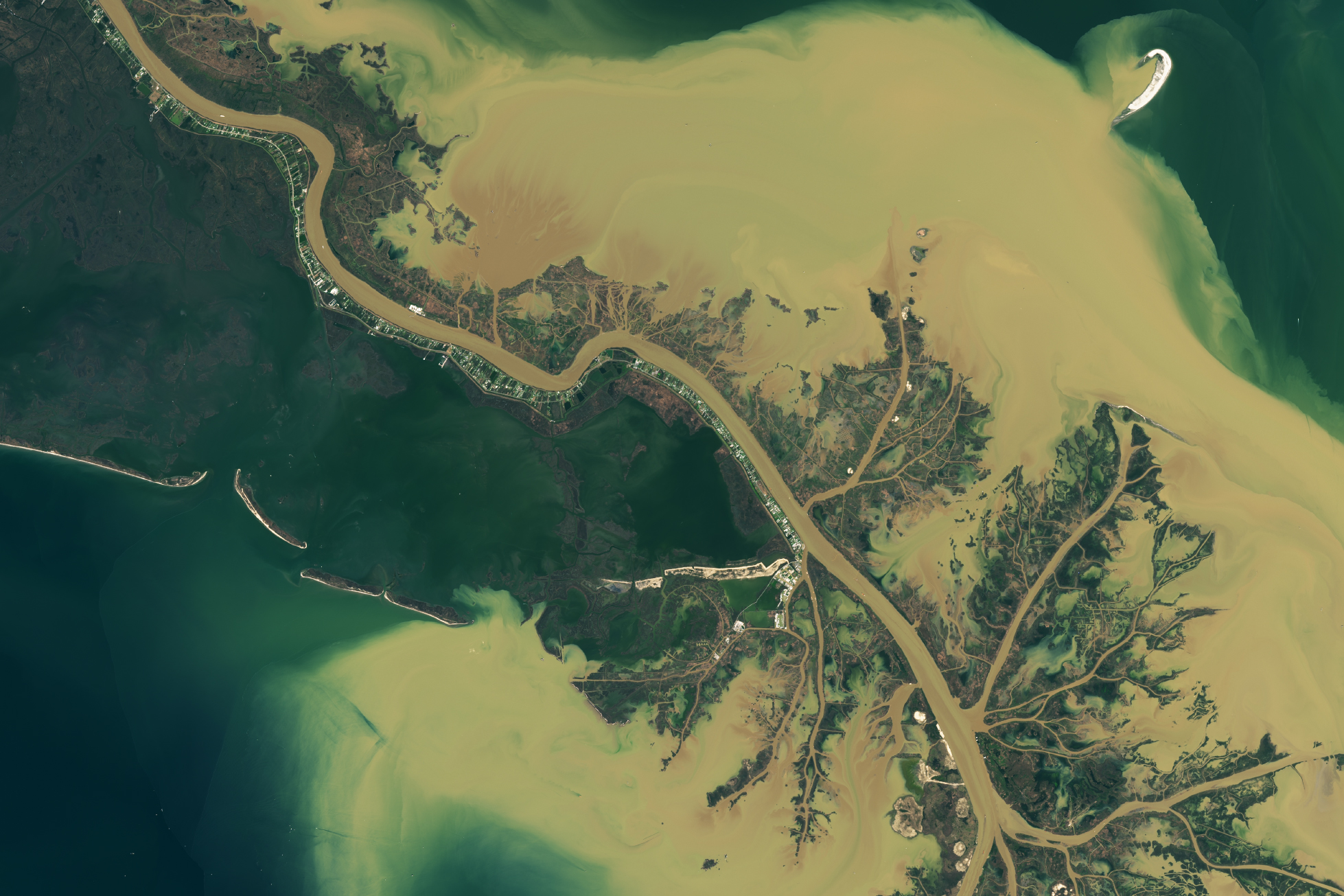
Flooding is one of the major natural disasters that affects the U.S., costing about $1.5 billion in annual damages. One challenge in flood prediction is estimating just how much of an area gets swamped. Additionally, when ice cover shrouds an underlying flood-to-be, understanding the fluid dynamics of the system could improve not only flood predictions but also erosion rates.
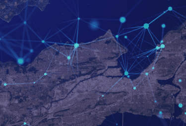
In an ESIP Lab pilot project, Trung Bao Le from North Dakota State University set out to use LiDAR and deep learning algorithms to marry field observations, satellite data and modeling. The work is complex and the ESIP project focused on validating algorithms to classify inundation in urban flooding.
After successfully showing that deep learning models can help predict flow rates and flooding, Le was then able to focus on what happens to rivers when the water is unseen. In a paper published in Water Resources Research (https://doi.org/10.1029/2021WR031742), Le and his team investigated the impact of ice on riverbends. They found that ice cover changes the equation: As water bounces off the ice, flow patterns change. Likewise, the models need to change for estimating flow, erosion and potential flooding.
Le continues his research under a CAREER Award from the National Science Foundation (NSF).
ESIP Lab
The ESIP Lab is a space for innovation in Earth science data. Every year, the lab releases a request for proposals (RFP) to provide seed funding for pilot projects.
Learn more: esipfed.org/rfp
This blog post was written by Allison Mills with edits by Annie Burgess and Trung Bao Le.
ESIP stands for Earth Science Information Partners and is a community of partner organizations and volunteers. We work together to meet environmental data challenges and look for opportunities to expand, improve, and innovate across Earth science disciplines.
Learn more at esipfed.org/get-involved and sign up for the weekly ESIP Update for #EarthScienceData events, funding, webinars and ESIP announcements.