ESIP ACTIVITIES SPONSORED BY:


Together, We’re Solving Our Planet’s Greatest Challenges
- What is ESIP?
- How to Participate
- How to Partner
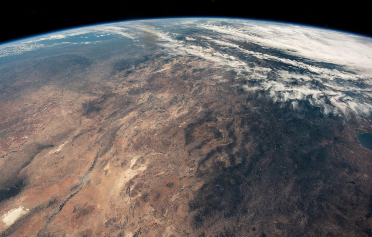
Photo from NASA
Maybe you’ve heard ESIP dropped in casual conversation at EGU, AGU, or AMS. Or maybe you’ve heard about us through our primary funders: NOAA, NASA, and USGS.
But what is ESIP, exactly?
It’s simple: We’re a nonprofit that creates space for Earth scientists, researchers, data professionals, and other domain experts to come together. We provide the space, the support, and (for some projects) the funding.
What ultimately comes from these collaborations? That’s up to you, our community!
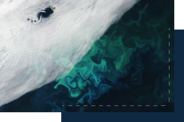
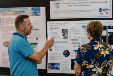
Photo from NASA
We welcome enthusiastic participation from anyone who’s leveraging Earth science data to tackle critical challenges, no matter which domain you work in.
ESIP is an organization of organizations, but you do not have to be a member of an ESIP Partner organization to participate in our activities. Please join us by:
- Joining a Collaboration Area
- Checking out our community calendar
- Attending our next ESIP Meeting
To get in on the conversation happening right now, hop on over to Slack.
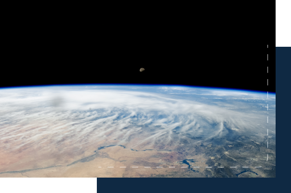
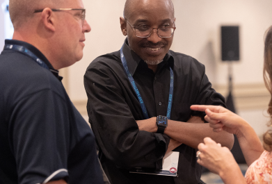
Photo from NASA
Looking to collaborate with other organizations working toward your same goals? Join us as ESIP Partner.
We welcome applications from industry, government, academic, research and not-for-profit organizations. Partnership is free and gives you access to ESIP Lab funding, leadership positions, voting rights, and more.
In Collaboration with 170+ Partners


ESIP Collaboration Areas
ESIP is home to about 30 Collaboration Areas. Initiatives are authored and executed by participants, and anyone is welcome to join.


Collaboration Areas

in ESIP Lab microfunding each year

ESIP Partners

Community-driven ESIP meeting sessions each year