Welcome to the Data Help Desk
We connect Earth science researchers and data experts to enhance research and make data and software more open and accessible.

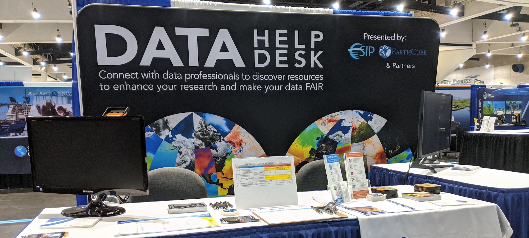
What is the Data Help Desk?
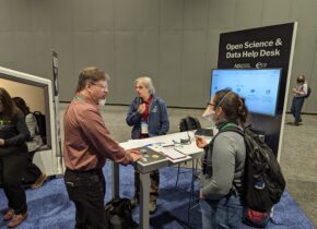
Bringing people together is what ESIP does. The Data Help Desk specifically connects domain scientists and data experts to share knowledge, tools, and workflows.
Data Help Desks are held at various Earth science conferences, including the American Geophysical Union (AGU), the European Geophysical Union (EGU), American Meteorological Society (AMS), and Geological Society of America (GSA).
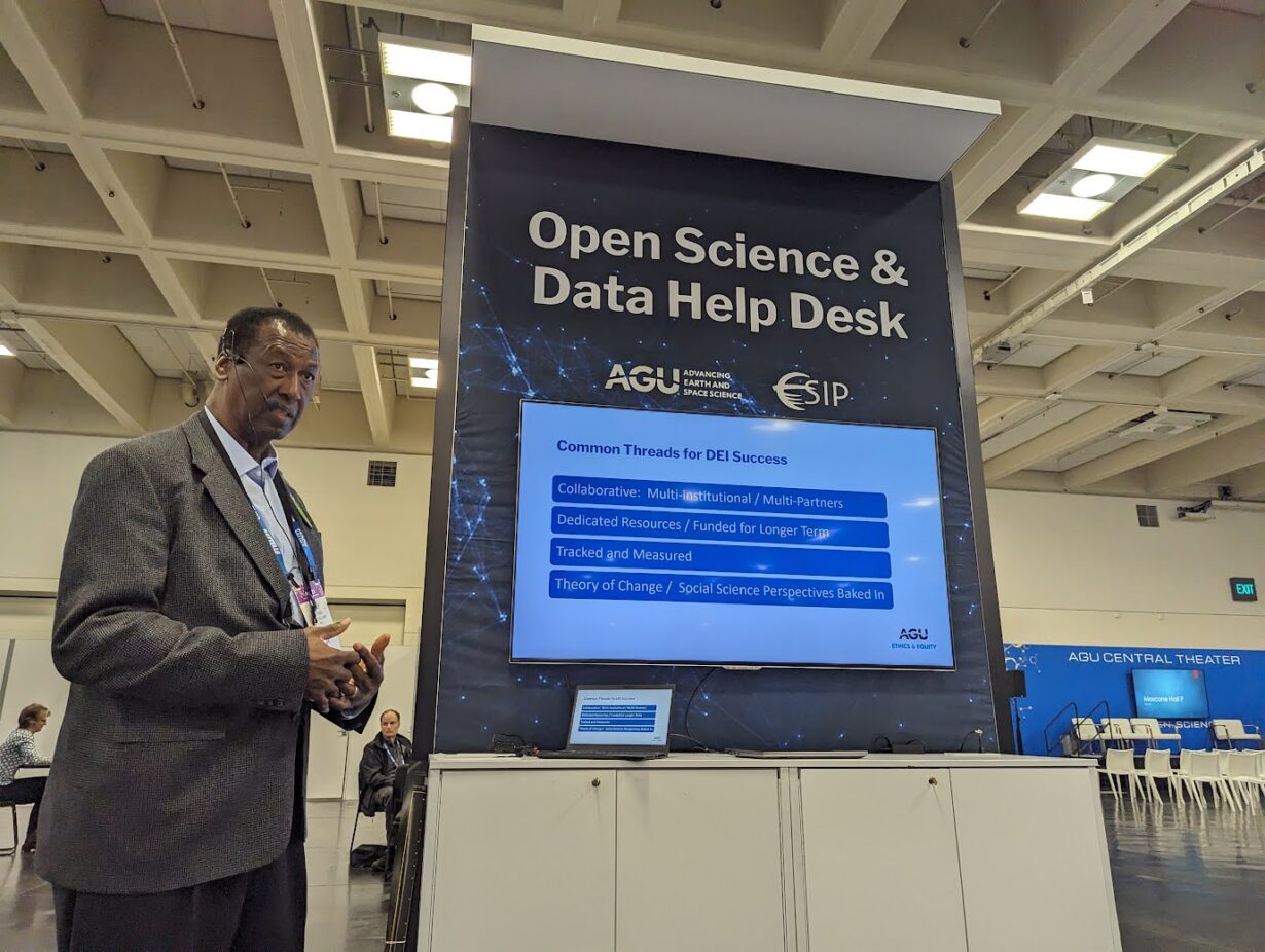
Often housed in the Exhibit Hall, the Data Help Desk is led by volunteer data experts who share their time and wisdom with students, domain scientists new to data management, and anyone interested in learning more about leading practices in open science.
Many volunteers contribute demos, one-pagers, and recordings to help make Earth science data more findable, accessible, interoperable, and reusable (FAIR). Many volunteers and their topics of interest are connected to the ESIP Lab and ESIP Collaboration Areas.
We Connect Data Experts & Researchers
Total Data Help Desks have taken place at conferences including AGU, EGU, AMS, and GSA.
Volunteer experts in ESIP’s Slack answer data and software questions during and beyond events.
The average cost of a booth at most scientific conferences is one of the biggest program costs.
The impact of the Data Help Desk is more than the sum of dollars or number of tools. Its power is connection and advice that is free to those who seek it.
Past support for the Data Help Desk
The Data Help Desk is currently unfunded and a volunteer-driven effort, operated as an ESIP Cluster. We think it can be much bigger. Here are some of the organizations and agencies who have supported past Data Help Desks.


Community is the heart of ESIP.
One of the best parts of the Data Help Desk is bringing together our community. While we host one in-person conference each year, the ESIP community is primarily based on virtual collaborations. The Data Help Desks are a wonderful chance to gather!