Innovation to Impact. See you at the July ESIP Meeting.
2021 Raskin Scholar Uses Remote Sensing to Map Volcanic Features

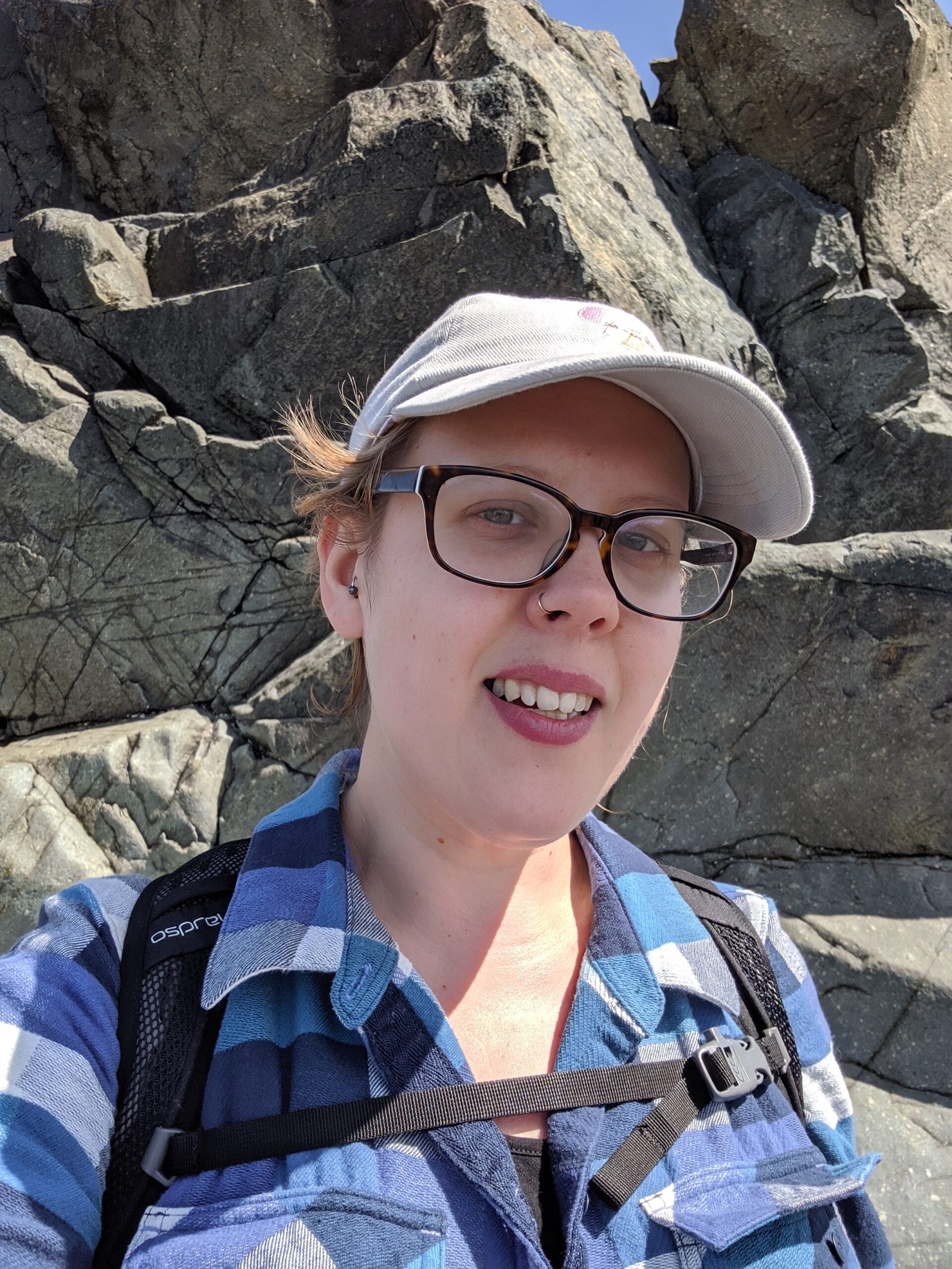
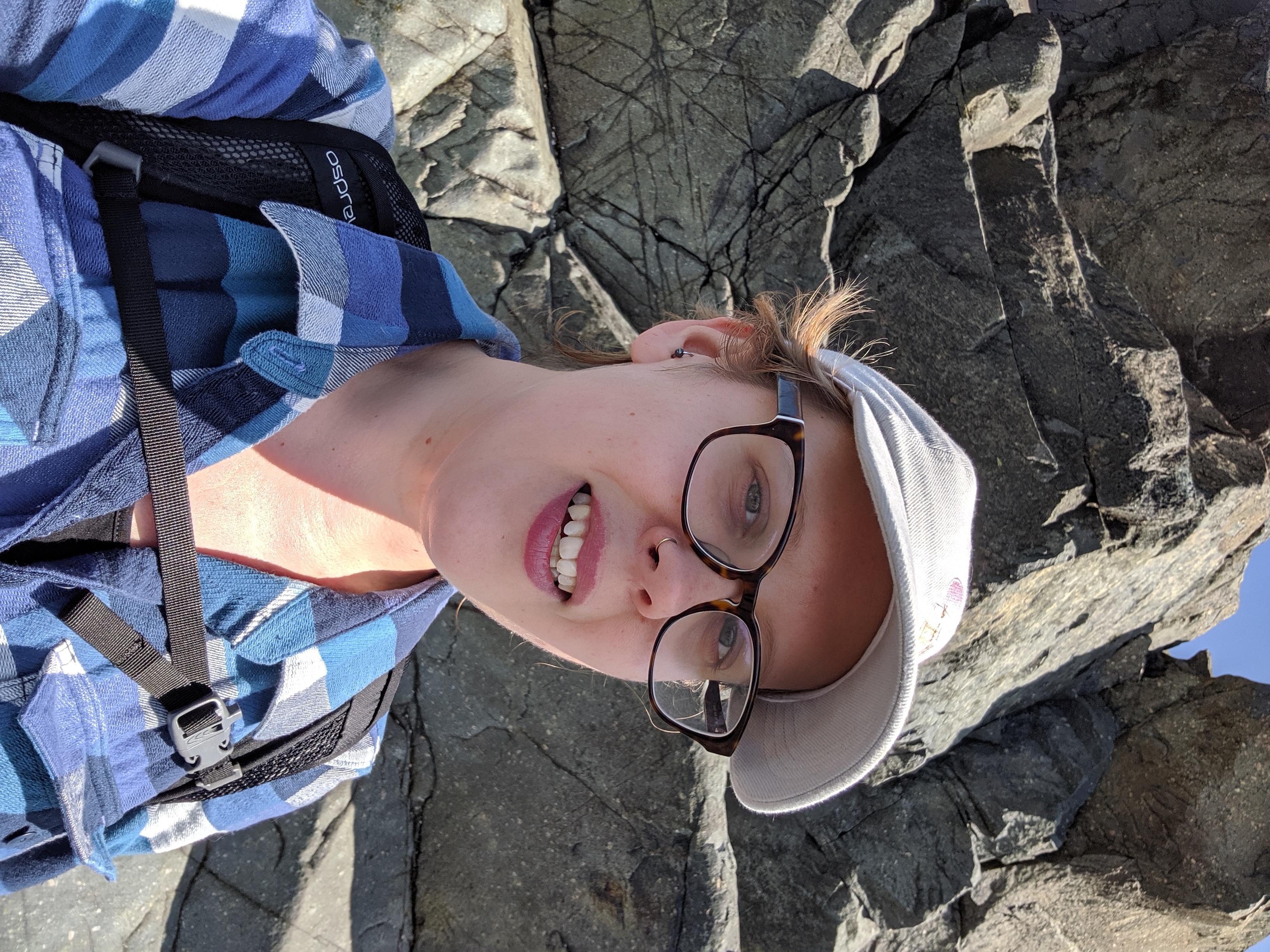
Earth Science Information Partners (ESIP) has awarded the 2021 Robert G. Raskin scholarship to Cora Van Hazinga, a graduate student in Geo-Information Science at Salem State University.
The Raskin Scholarship is an annual award made by ESIP to a current graduate student in the Earth or computer sciences who has an interest in community evolution of Earth science data systems. The scholarship is named for longtime ESIP member Robert G. Raskin, and seeks to promote collaboration, research support and exposure for talented students in the Earth or computer sciences.

Cora Van Hazinga is ESIP's 2021 Raskin Scholar
Cora’s research focuses on furthering our understanding of geological processes using GIS and data science tools. Specifically, she uses remote sensing techniques to identify the mechanics of tectonic and magmatic strain accommodation in the Turkana region of the East African Rift. The analysis of extrusive volcanic features and visible basement structures enhances our understanding of the Earth in this region by providing data about the regional tensile stress and the overall lithospheric structure of this dynamic area.
Cora started her educational path first with an interest in information technology. After falling in love with school, she decided to pursue a BS in Geology, which she earned with Magna Cum Laude honors from Salem State University in 2020. It was during her undergraduate days that she was first introduced to GIS and remote sensing technology in a Geomorphology class and realized a passion for working at the junction between Earth science and computer science. Cora is now working toward an MS in Geo-Information Science also at Salem State University, where she continues to expand the method she has developed to identify, map, and analyze extrusive volcanic features, and aims to apply the techniques in other tectonic settings outside the East African Rift.
In addition to her research, Cora is also the Lead Data Manager and project manager for EARThD (East African Tephra Database), an NSF funded project that integrates and standardizes geochemical and geochronological tephra datasets from the East African Rift.
Cora's passions for bridging computer science and Earth science, for pushing the envelope in terms of what’s possible to learn about the Earth using new and interesting techniques, and for curating and sharing data embody the values held by ESIP. She will receive a stipend and has been invited to attend the ESIP biannual meetings; she will also give an invited talk at the 2021 ESIP Summer Meeting.
About ESIP
Earth Science Information Partners (ESIP) is a community for global Earth science data professionals that works to advance the usefulness and impact of data to address pressing global environmental challenges and fuel new discoveries. For more than 20 years, ESIP has worked to support the networking and data dissemination needs of the global Earth science data community by linking the sectors of observation, research, application, education, and use of Earth science data. ESIP facilitates collaboration and builds connections across federal agencies, academia, and the private sector through innovative collaboration methods and infrastructure that provide a scalable, neutral platform to support Earth science research, data, and technical communities. To learn about ESIP, visit www.esipfed.org and follow @ESIPfed.
Contact
Megan Carter, ESIP Community Director
megancarter@esipfed.org


