ESIP Webinars
From ESIP Meetings to Collaboration Areas, many groups in ESIP record and share their discussions.
Join a current conversation or catch up on our YouTube playlists.
Deep dives, introductions, and more
Check out the recordings from different ESIP collaborations. Some explore technical knowledge sharing while others provide introductions or demos. Here are ongoing series.
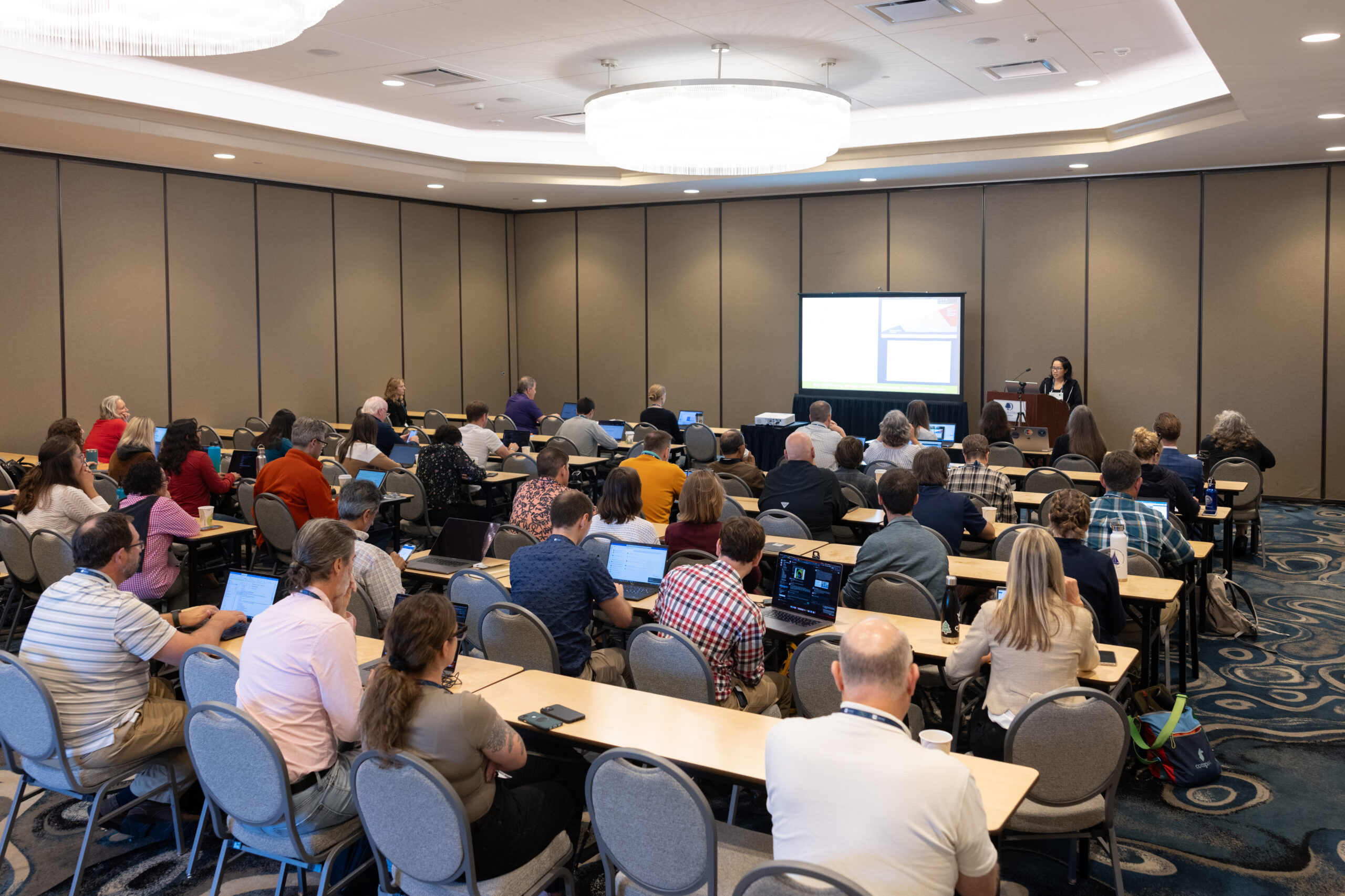

Past ESIP Webinars
Check out recordings from different ESIP Collaboration Areas. Their webinar series are dives into particular tools or domains in an effort to make Earth science data more accessible and usable.


Make data actionable.
ESIP’s mission is to empower innovative use and stewardship of Earth Science data to solve our planet’s greatest challenges.
That means we are willing to dig into the nitty-gritty details of data management as well as tackle the big-picture consequences of Earth science technologies. These conversations are at the cutting edge of our fields – and we embrace the process of learning.
But we also care about making a difference. Earth science data affects people’s daily lives Check out how ESIP discussions evolve and inform collaborative solutions in the broader community.