Innovation to Impact. See you at the July ESIP Meeting.
ESIP News & Stories


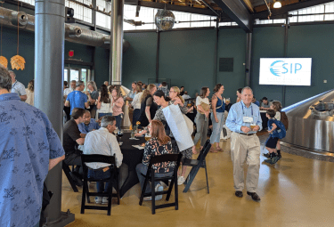
We welcome participation from individuals and organizations across disciplines and domains. If you're working with Earth science data, join your peers and colleagues at ESIP.