Innovation to Impact. See you at the July ESIP Meeting.
ESIP Lab: Better Workflows with Geoweaver
Innovation is core to Earth Science Information Partners (ESIP). Through the ESIP Lab, small grants support pilot projects; sometimes pilots turn into major endeavors.
One example is Geoweaver, a platform that pulls in multiple data processing steps, saves project history and makes sharing full-stack workflows much easier.
What if five years of research could be packaged into a single file and shared instantly across the globe? What if onboarding new researchers took two weeks instead of two years?
That’s the goal with Geoweaver.
Geoweaver is a software that works in the background to save code, model runs and project history, then exports that work into a shareable file. The project started with a $7,000 small grant from the ESIP Lab in 2017 and has grown with more than $920,000 of support from NASA and NSF.
The ESIP Lab Supports Innovation
The ESIP Lab’s current small grants Request for Proposals (RFP) is open now, focusing on community resilience. What projects will join Geoweaver as ESIP Lab projects changing the world?
“Everyone wants their data to be actionable, but that means we need our research and collaboration tools to help us save time and make sharing our work easier to do,” says Annie Burgess, ESIP Lab Director. “That’s what makes Geoweaver so important for our Earth science data community. We’re proud that Geoweaver started in ESIP.”
Geoweaver was created by Ziheng (Jensen) Sun from George Mason University. Jensen is research professor focused on AI for Earth science and also chairs the ESIP Machine Learning Cluster. Through his own collaborations, he realized early in his career that people needed a better way to store and share their work.
“My goal is to make Geoweaver the go-to software for people to manage their workflows,” Sun says. “We would see huge improvements in research productivity in Earth science communities and beyond. From a long-term and bigger perspective, using Geoweaver gives science the leverage to catch up with industry and maintain scientific independence and integrity.”
Geoweaver is for Workflows
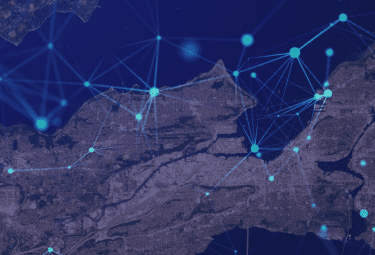
In Artificial Intelligence (AI) and Machine Learning (ML) workflows, more than 80% of a project’s time goes into cleaning and prepping data. Along the way, many small tweaks in the code add up to reworked processes, which are not always visible in the final product or output. At the same time, reproducibility in science gets harder as workflows, team sizes, dataset sizes and variables become more complex.
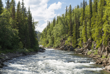
Many teams lose time simply because their workflows require a lot of manual effort to learn, execute, share and cite. In the Earth sciences, this lag impacts our society’s ability to act on environmental challenges like wildfire, coastal erosion, climate change and pollution.
Geoweaver does not change the nature of those challenges, but it does change a team’s ability to innovate and collaborate.
Want to streamline your workflows? Check out geoweaver.dev and download the software.
Awards
- NASA ACCESS program: #80NSSC21M0028
- National Science Foundation Geoinformatics program: EAR-1947875 and EAR-1947893
- National Science Foundation Cyber Training program: OAC-2117834
- NOAA WPO: NA22OAR4590512
Learn More
- Download Geoweaver: geoweaver.dev
- Original Geoweaver Project – ESIP Lab
- GeoWeaver: Building An Open-Source Platform for Enabling Ad Hoc Management, Open Sharing, and Robust Reuse of NASA Earth Data-Driven Hybrid AI Workflows – NASA ACCESS Program
- GeoSMART Tutorials
This blog was written by Allison Mills from ESIP with edits from Annie Burgess and Ziheng (Jensen) Sun.
ESIP stands for Earth Science Information Partners and is a community of partner organizations and volunteers. We work together to meet environmental data challenges and look for opportunities to expand, improve, and innovate across Earth science disciplines.Learn more esipfed.org/get-involved and sign up for the weekly ESIP Update for #EarthScienceData events, funding, webinars and ESIP announcements.