by Matt Bartos | Jun 17, 2018 | Community Fellow Blog
Why metamojis? Data flags are commonly used throughout the earth sciences to communicate data quality and provide other helpful information to users. SeaDataNet, for instance, uses numeric codes to convey information about data quality: 0 – No QC 1 – Good...
by Matt Bartos | May 14, 2018 | Community Fellow Blog
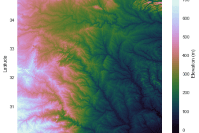
Hey ESIP! I wanted to share a pet project of mine that could be useful for those of you who work with GIS data (and especially for those of you who work with water data of any kind). Pysheds is an open-source library designed to help with processing of digital...
by Matt Bartos | Feb 24, 2018 | Community Fellow Blog
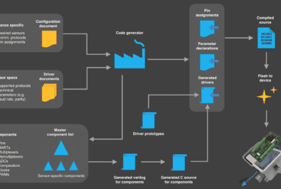
Hey ESIP, This blog post gives an update on my FUNding Friday project: a proof-of-concept platform for automated sensor firmware generation. The results of the project are available on Github. Note that development is still ongoing 🙂 Project overview This project aims...
by Matt Bartos | Dec 24, 2017 | Community Fellow Blog
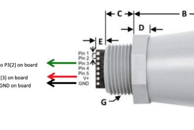
Overview This tutorial will demonstrate how to program an embedded device to read data from an analog sensor. We will cover some of the basics of analog sensing, such as analog-to-digital conversion, as well as the nuts-and-bolts of programming an embedded device....
by Matt Bartos | Mar 6, 2017 | Community Fellow Blog
Hello world! Today, I’m going to talk to you about wireless sensor networks and how to deploy them. First, a little about me. I work at the real-time water systems lab at the University of Michigan. Our lab focuses on using wireless sensor networks to develop “smart”...