Land Cover Change and Ecosystem Services Using Remote Sensing: Meet Alison Adams
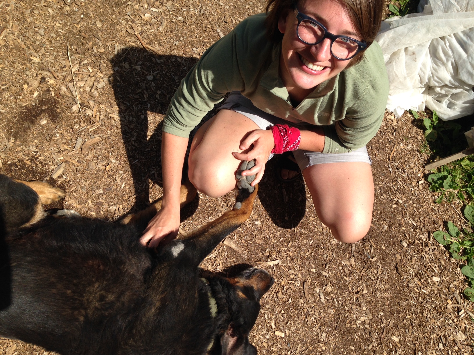
I’m Alison, a second-year Master's student at the University of Vermont. I've always had an interest in visual representations–as an undergraduate at Yale I was an art history major, and upon transitioning my focus to environmental science I was quickly drawn to remote sensing and GIS because of the power of maps to convey information that’s harder to communicate with words, charts, and tables. The potential of remotely-sensed spatial data to give us glimpses of systems operating at continental and global scales is thrilling—if at times overwhelming—and I love being a part of the evolution of that science.
My research as a graduate student is on land cover change and ecosystem services. I’m currently working on a project to map changes in basal area of different tree species in the Northeast using spectral information from Landsat images, and to quantify the associated changes in carbon storage. This work has connected me with both the Rubenstein School of Environment and Natural Resources and the Gund Institute for Ecological Economics, where I’ve had the opportunity to situate my work within larger efforts to incorporate the value of nature and human well-being into our economic system.
My work with the ESIP community has only just begun, but I'm excited to learn more about data management and stewardship, and to work with the ESIP EnviroSensing cluster to improve the ability of researchers across disciplines to harness the tremendous power of broad-scale remotely-sensed data.
Tweet at me at @albabs, and stay connected with ESIP through Facebook and Twitter.