Be a speaker at this December’s Spark@AGU! Learn more and submit a talk idea by October 19.
Meet 2026 Raskin Scholar Madeline Berger

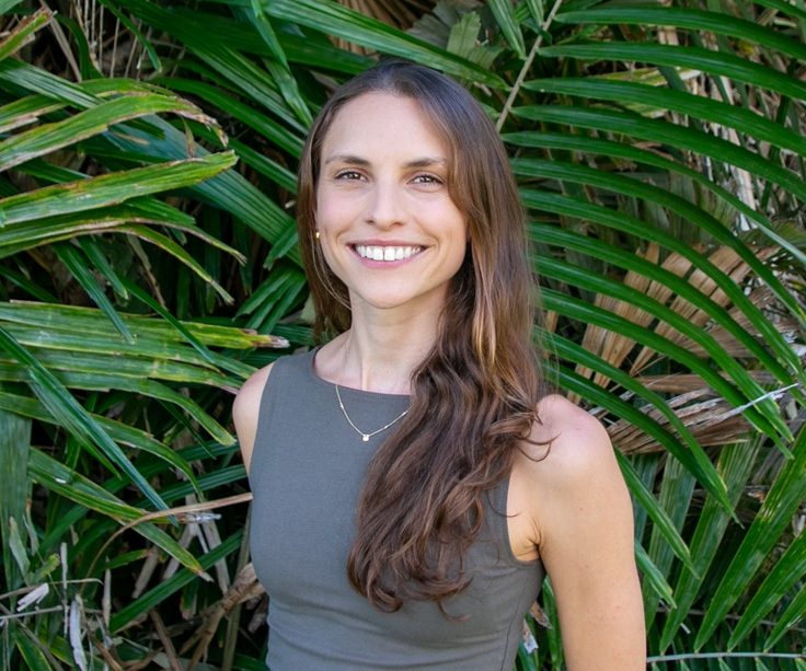
Earth Science Information Partners (ESIP) has awarded the 2026 Robert G. Raskin Scholarship to Madeline Berger, a graduate student at the University of Hawai‘i Mānoa. Berger is passionate about reproducible and open science, as well as designing data products that help bridge the gap between research and resource management, particularly in marine sciences.
The Raskin Scholarship is a prestigious annual award that recognizes a graduate student in the Earth sciences who demonstrates a track record of excellence and a keen interest in the community evolution of Earth science data systems. Named in honor of longtime ESIP participant and Earth science semantics pioneer Robert G. Raskin, the scholarship fosters collaboration, provides research support, and elevates the profiles of talented student researchers.
We are thrilled to announce Madeline (Maddie) Berger, PhD candidate in the Marine Biology program at the University of Hawaiʻi Mānoa, as the recipient of the 2026 Raskin Scholarship. Berger is also serving as a 2026 ESIP Community Fellow involved with the Marine Data Cluster. Her dual involvement with ESIP is a powerful testament to her alignment with the community’s core values of open science and data stewardship.
Bridging the land-sea divide with spatial data science
Driven by a childhood spent exploring coastal nature and a lifelong bond with the water as an open-water swimmer, Berger developed a deep passion for understanding and preserving marine environments. Today, her interests sit at a critical intersection: the land-sea boundary. While her doctoral degree is in Marine Biology, her day-to-day work stands firmly in the realm of advanced spatial data science and data infrastructure.
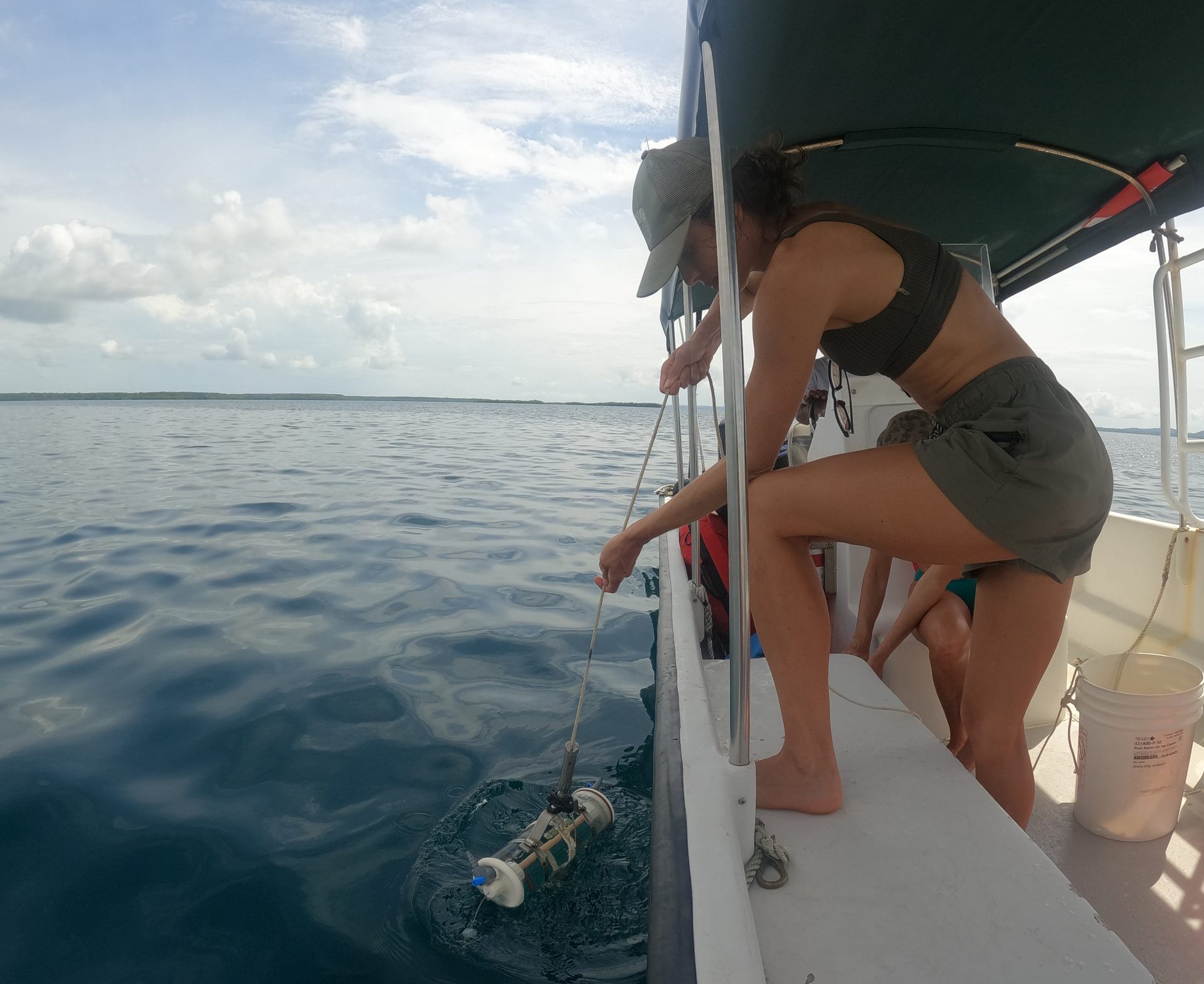
Coral reefs face compounding threats from both global climate change and localized, land-based stressors. Berger analyzes how changes on land—such as shifting land use, infrastructure developments, and policy decisions—impact coral reef ecological health; research that can be used to identify near-term, actionable solutions for conservation and reef restoration.
Because terrestrial and marine sciences have traditionally been siloed, bridging the two requires a massive, interdisciplinary, big-data approach. Berger's dissertation work involves:
- Synthesizing multi-source remote sensing data to track land-use changes across hundreds of kilometers of coastline.
- Integrating decadal time-series of reef-level water quality extracted directly from historical coral skeletons.
- Collaborating across domains with landscape ecologists, paleoecologists, and chemists to map complex nitrogen signals in near-shore environments.
She aims to study the coastal watersheds as one holistic system, which includes ecosystems such as coral reefs, mangroves and wetlands, but also human settlements and infrastructure, and the systems supporting those human settlements, like agriculture.
“I am super motivated to use data to reveal and illustrate how all these systems connect and influence each other across time,” Berger says, “and hope that will help people see themselves as an important part of maintaining thriving coastal ecosystems that support thriving communities.”
A foundation in open science and data infrastructure
Berger's commitment to strategic, adaptive data workflows began well before her PhD. Initially, she was attracted to economics to understand what incentivizes people to make choices, which led her to environmental economics and natural capital valuation, learning how to translate nature into monetary terms as a conservation strategy. However, to value a natural resource correctly, we have to understand how that resource functions at multiple scales.
“Taking mangroves as an example,” she explains, “they can provide value at the molecular level through water filtration, and at the coastline level through increased storm protection. Earth sciences is what allows us to understand each of these important functions. Following this general line of inquiry is essentially what has shaped my career to date.”
During her time as an Ocean Health Index Fellow at the National Center for Ecological Analysis and Synthesis (NCEAS), she spearheaded an assessment of Tetiaroa Atoll that required synthesizing more than 20 diverse geospatial datasets. Operating entirely within open-source R scripting environments, she mastered the art of intentional workflow design adhering strictly to open science protocols.
Dr. Amy Frazier, a member of Berger's dissertation committee, highlights her standout approach to modern ecology. “Maddie represents the next generation of geoscientists who view high-performance computing and open-source data science not merely as tools, but as an essential foundation for solving complex ecological problems. She possesses the rare combination of deep ecological insight and the technical rigor necessary to advance the field of data-driven Earth science, specifically for near-shore and coral reef management.”
Cultivating community and computational literacy
Beyond her primary research, Berger is dedicated to democratizing data science skills and lowering the barrier to entry for others in her field. Whether mentoring undergraduate interns or training fellow researchers, she actively champions a collaborative culture of learning.
“I was part of R Ladies Santa Barbara during my mastersʻ program at UCSB, which is where I first learned R. Having a low-stakes, welcoming community was a huge part of what helped me go from “learning a new skill” to “this is what I want to build my career around.””
She has continued that spirit with a new group in Honolulu, holding introductory workshops to help familiarize people with packages or tools in R they may not know about (e.g., Geospatial, R Markdown). She is also a certified Carpentries Instructor, has co-instructed specialized courses like “R for Ecologists,” and has traveled internationally to lead workshops on Marine Spatial Planning with SeaSketch in Fiji, Samoa, and online for students in the Maldives.
“One thing Iʻve learned so far is that you do really need to invest serious time in planning and community engagement,” she says. “There is a need for more connections between graduate students and researchers, but as I learned through working on R Ladies Honolulu, community building is a skill you need to learn and foster!”
What’s next? Join us in July to hear more!
Berger continues to prove that open data and robust data infrastructure are key to unlocking solutions for our planet's most vulnerable marine ecosystems. Looking ahead, she aims to be a research-driven data scientist, focusing on synthesizing satellite data with local citizen science to empower community-based resource management. She also hopes to work within collaborative environments and potentially teach at the community or small-college level.
She will be formally recognized during the Thursday Plenary session at the upcoming ESIP Meeting in July 2026, where she will present a talk about her work. We hope you join the ESIP community in congratulating her on this well-deserved award.
ESIP (Earth Science Information Partners) is a community of partner organizations and volunteers. We work together to meet environmental data challenges and find opportunities to expand, improve, and innovate across Earth science disciplines. Learn more and sign up for the weekly ESIP Update for #EarthScienceData events, funding, webinars and ESIP announcements.