Submit your session proposal for the ESIP January 2027 Meeting. Submissions are open through November 19.


- This event has passed.
Earth Observation (EO) for Land Management
June 23 @ 2:00 PM - 3:00 PM EDT
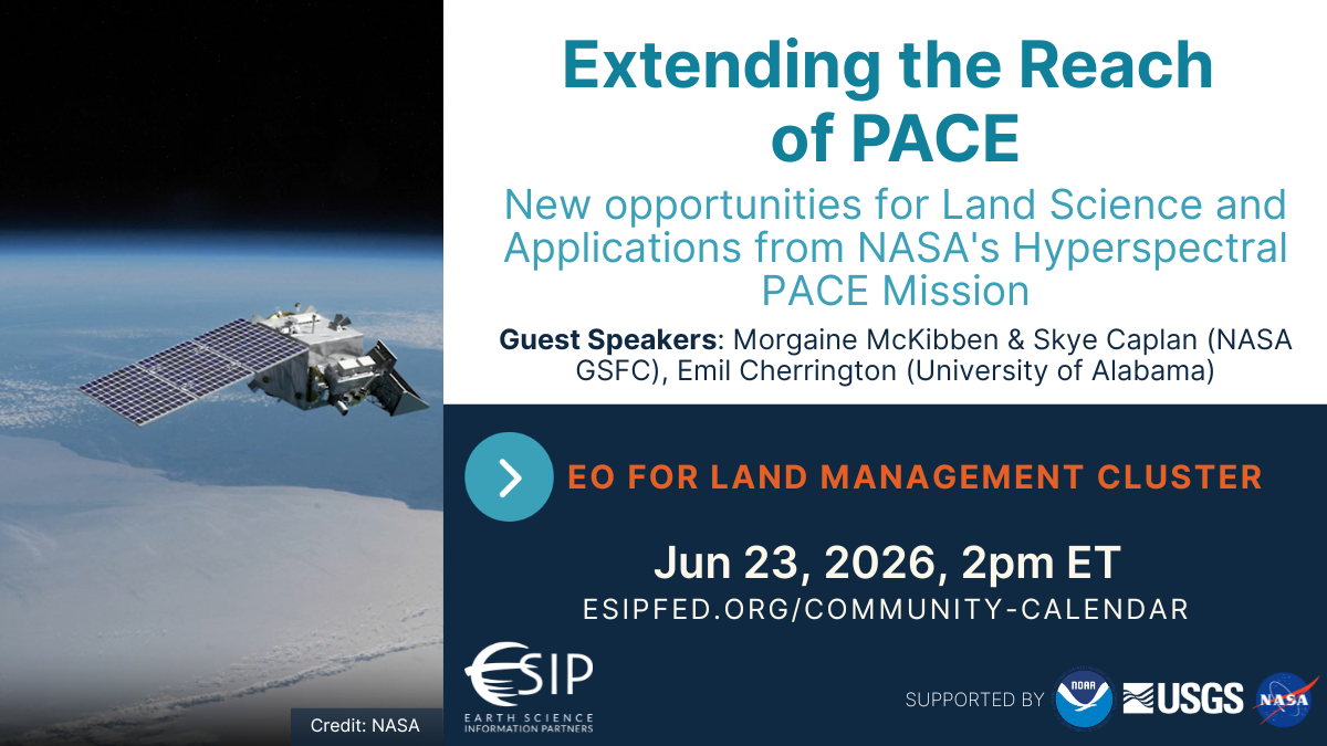
Extending the Reach of PACE: New opportunities for Land Science and Applications from NASA’s Hyperspectral PACE Mission
Dr. Morgaine McKibben, PACE Mission Applications Lead, NASA Goddard Space Flight Center (GSFC). Morgaine will introduce the PACE mission and its applications.
Ms. Skye Caplan, Terrestrial Product Lead for the PACE mission, NASA Goddard Space Flight Center (GSFC). Skye will demonstrate how to use the Ocean Color Instrument (OCI) for terrestrial remote sensing.
Dr. Emil Cherrington, Principal Research Scientist, University of Alabama in Huntsville’s Earth System Science Center; Ecosystems Science Lead, NASA EarthRISE at Marshall Space Flight Center; PACE Early Adopter. Emil will show us how to access hyperspectral data from PACE using the OCI Cloud Toolkit.
Just past its second full year in space, NASA’s Plankton, Aerosol, Cloud, ocean Ecosystem (PACE) mission has been keeping a near-daily, hyperspectral record over land since early 2024. Terrestrial products from PACE’s Ocean Color Instrument (OCI) have proven novel in providing previously uncharacterized insights into global terrestrial ecosystems. For example, OCI has enabled monitoring of relative canopy pigment concentration with its hyperspectral-enabled vegetation indices (VIs) and has allowed estimation of gross primary productivity using only its 122-band surface reflectance data. In addition to its advanced uses, PACE also provides potential for continuity with heritage missions like MODIS and VIIRS through its reflectance data and production of heritage VIs like NDVI, EVI, and more. Each of these points will be demonstrated during this webinar, beginning with an overview of the PACE mission and its applications program. The speakers will take a deeper dive into the products mentioned here, highlighting PACE’s utility as a bridge from heritage to current remote sensing methods with several case studies. Speakers will also present on data access points and resources created to lower the barrier to entry of working with hyperspectral data, including a presentation specifically highlighting a Google Earth Engine toolkit developed in support of PACE OCI data.
This Cluster—also known as the Applied Earth Observations Innovations Partnership (AEOIP)—
fosters interagency partnerships to advance Earth Observation–based land management.
By connecting EO experts with land management experts, we seek to increase awareness of new EO
capabilities, as well as research and operational management challenges, in order to help
formulate solutions through effective integration of data.
To learn more about this Cluster and its activities, visit the EO for LM Cluster Landing Page
Earth Observation for Land Management 2026 Registration
ESIP meetings are open to all who wish to participate and contribute. To ensure a secure and collaborative environment for all attendees, registration is required for each meeting series. Once registered, you will have immediate access to the join links for all upcoming sessions.
Click to register for the series
Note on Annual Registration: Your registration is valid for all meetings within the current calendar year. To maintain a secure environment and ensure our community lists are up-to-date, we perform an annual reset each January. You will be invited to re-register for your preferred Collaboration Areas at the start of the new year.