Be a speaker at this December’s Spark@AGU! Learn more and submit a talk idea by October 19.
Bridging Divides in Earth Science Data at the 2026 ESIP July Meeting
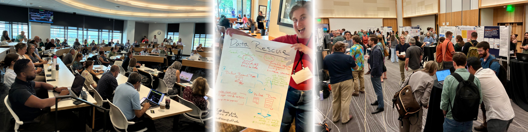
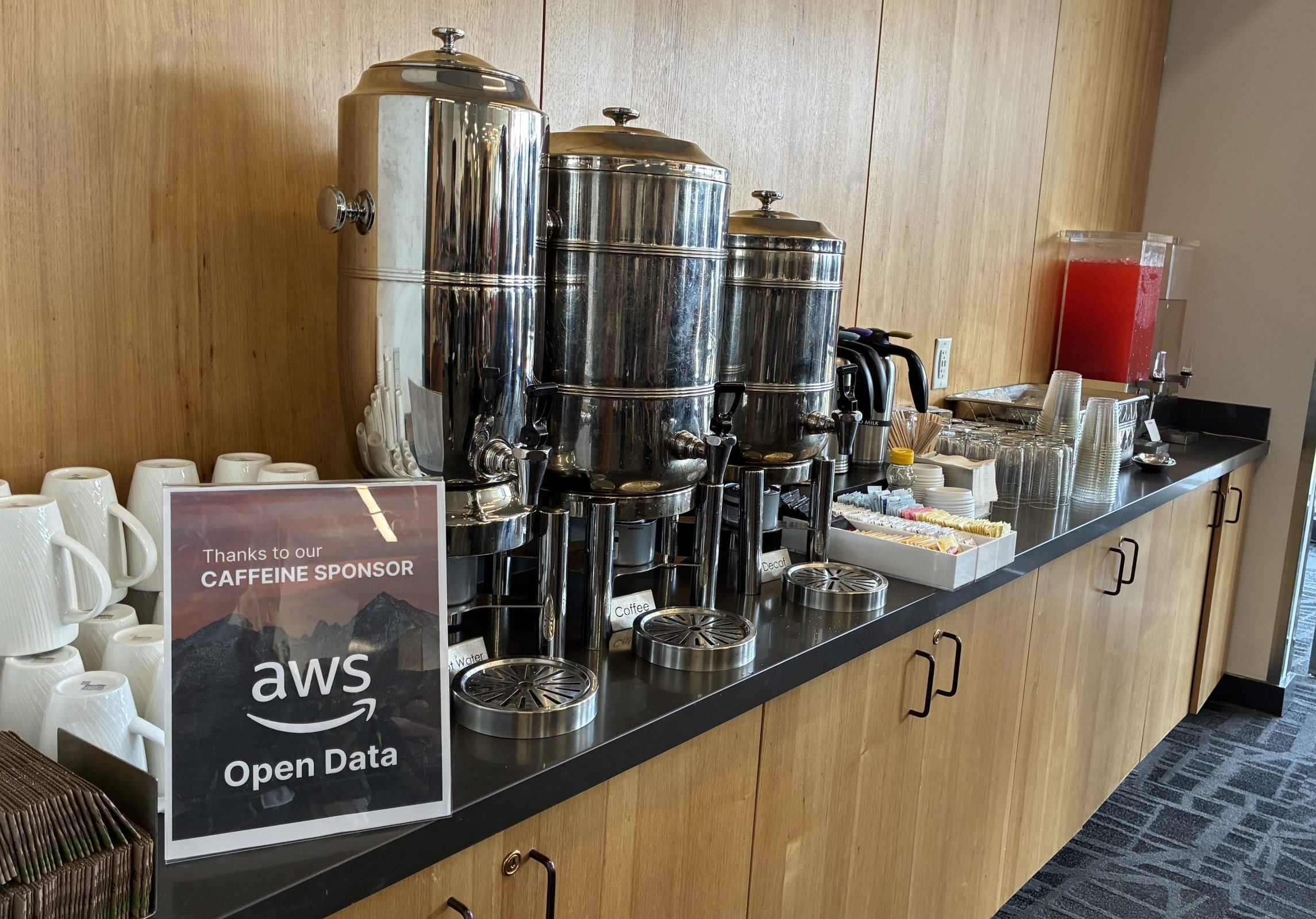
Overheard at the 2026 ESIP July Meeting: “My brain is so full,” and “When is more coffee coming?”
Bridging divides in Earth science data takes serious brainpower, fueled by industrial quantities of caffeine. If you missed the action (or just need a refresher), here’s what you need to know from JUL26.
In the last week of July, the ESIP community gathered for the annual hybrid Meeting in Austin, Texas. Bringing together nearly 300 registrants (77% in-person), the Meeting served as a reminder of what happens when we break down silos in Earth science data. From federal agency leaders and AI researchers to classroom educators and open-source software maintainers, the week was filled with collaboration, technical discussions, and renewed community energy.
Where Sciences and Systems Meet
Earth science data do not sit in just one domain. These data cover a vast ecosystem, spanning satellite remote sensing, oceanography, hydrology, atmospheric modeling, climate research, and more. And at the annual July Meeting, attendees from many many organizations represented every layer of the Earth science data pipeline.
This is what makes ESIP unique: how it unites the people who collect, steward, analyze, and apply these data.
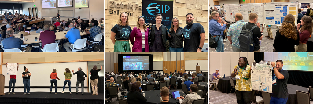
The 2026 July Meeting anchored heavily on the federal Earth-data complex, with strong participation from NASA and its Distributed Active Archive Centers (DAACs), NOAA, and the USGS. At the same time, the halls and rooms were energized by private-sector innovators (including teams from Esri, AWS, Google, Element 84, Development Seed, Earthmover, Anaconda, and more), a swath of non-profit consortia such as UCAR/NCAR and CUAHSI, and many many academic researchers.
“Absolutely thrilled I got to spend the last week with the ESIP community in Austin,” said Mike Mahoney with USGS. “ESIP remains one of the strongest enablers for interagency cooperation. I got to spend my week comparing notes with peers across USGS, NASA and NOAA on our cloud migration wins and misses, sharing lessons learned in our IT modernization efforts, and talking about what's best and next for Earth science data and applications.”
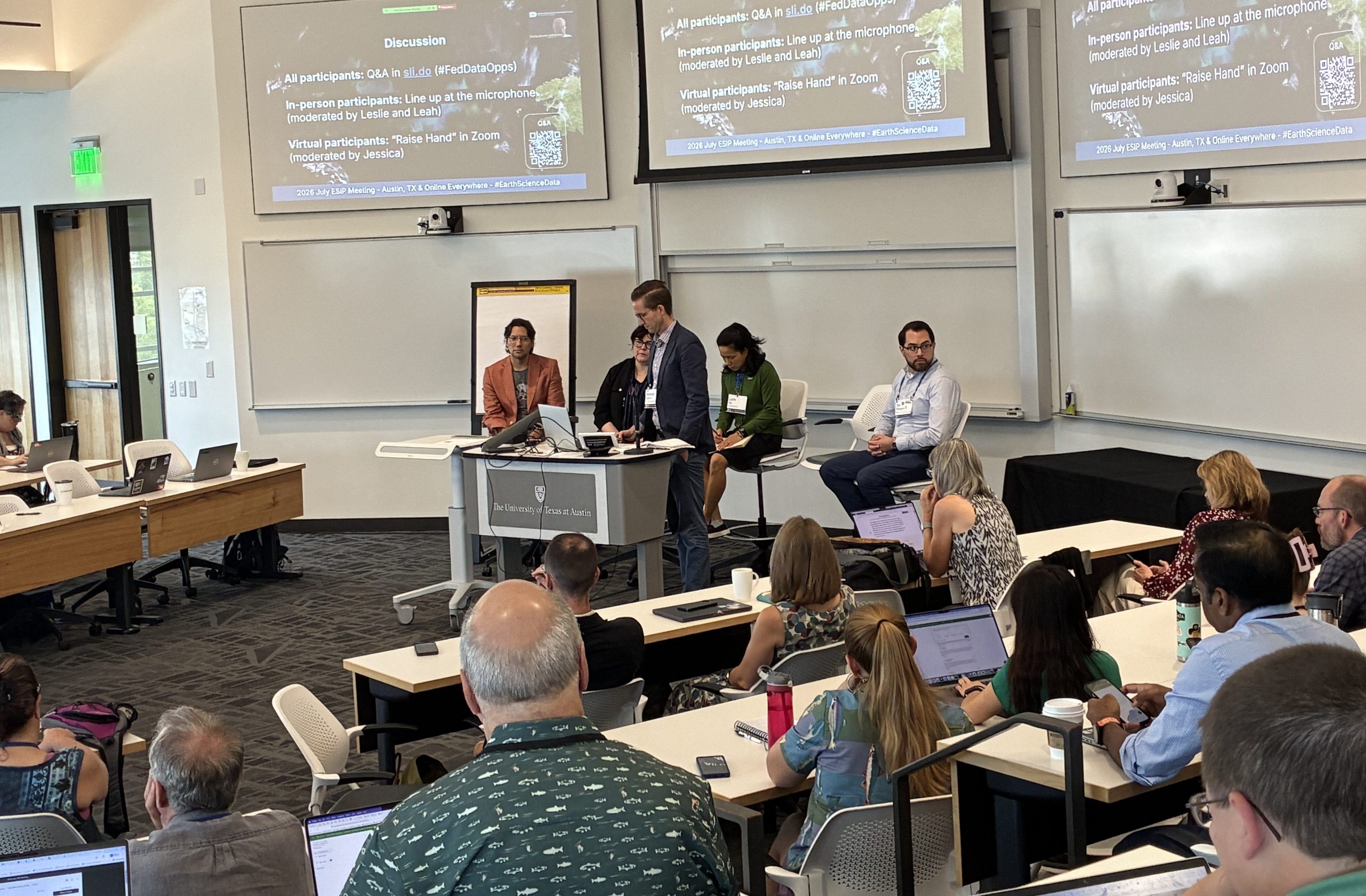
The diversity of roles across the community becomes apparent when we gather together in one place. Developers, data scientists, data managers, and data curators made up over 40% of attendees, forming the core engine of our technical discussions. Researchers and analysts brought science domain use cases directly to data architects. And, organizational leaders like directors, executives, product owners, and program managers guided high-level discussions on governance, accessibility, and infrastructure.
A Connected and Growing Community
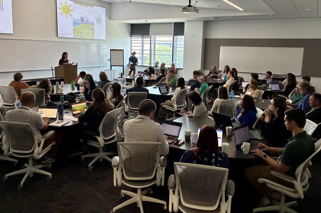
One of the most exciting aspects of the Meeting was seeing how our community manages to stay tightly connected while opening its arms to rapid growth.
We had 115 registrants who were attending their very first ESIP Meeting. Crucially, this wave of first-time attendees was not limited to virtual screens, with 88 first-timers joining us in-person to experience the ESIP community firsthand. This growth spans every stage of professional life:
- Career Stages: While mid-career practitioners and senior scientists made up about 70% of the conference, early-career professionals and graduate students brought fresh momentum. Over half of early-career attendees participated in ESIP for the first time.
- Geographic Reach: Attendees spanned 36 U.S. states plus Washington, D.C., anchored heavily by the Maryland (Goddard, NOAA Silver Spring) and Colorado (NCAR, NSIDC, USGS, NOAA Boulder) hubs. We were also thrilled by an expanding international footprint across Canada, the UK, Germany, Greece, and a hub-and-spoke delegation from Australia's data infrastructure institutions (including Australian Research Data Commons (ARDC), National Computational Infrastructure (NCI), and AuScope).
What We Talked About: AI, FAIR Data, and Cloud-Native Workflows
While technical sessions covered everything from complex metadata schemas to modern data formats, attendee feedback revealed that the primary driver of the Meeting was human connection. Nearly half of all attendees highlighted networking, community-building, and peer collaboration as their primary goal.
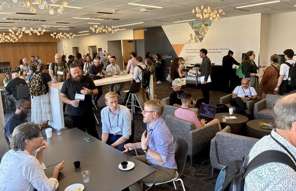
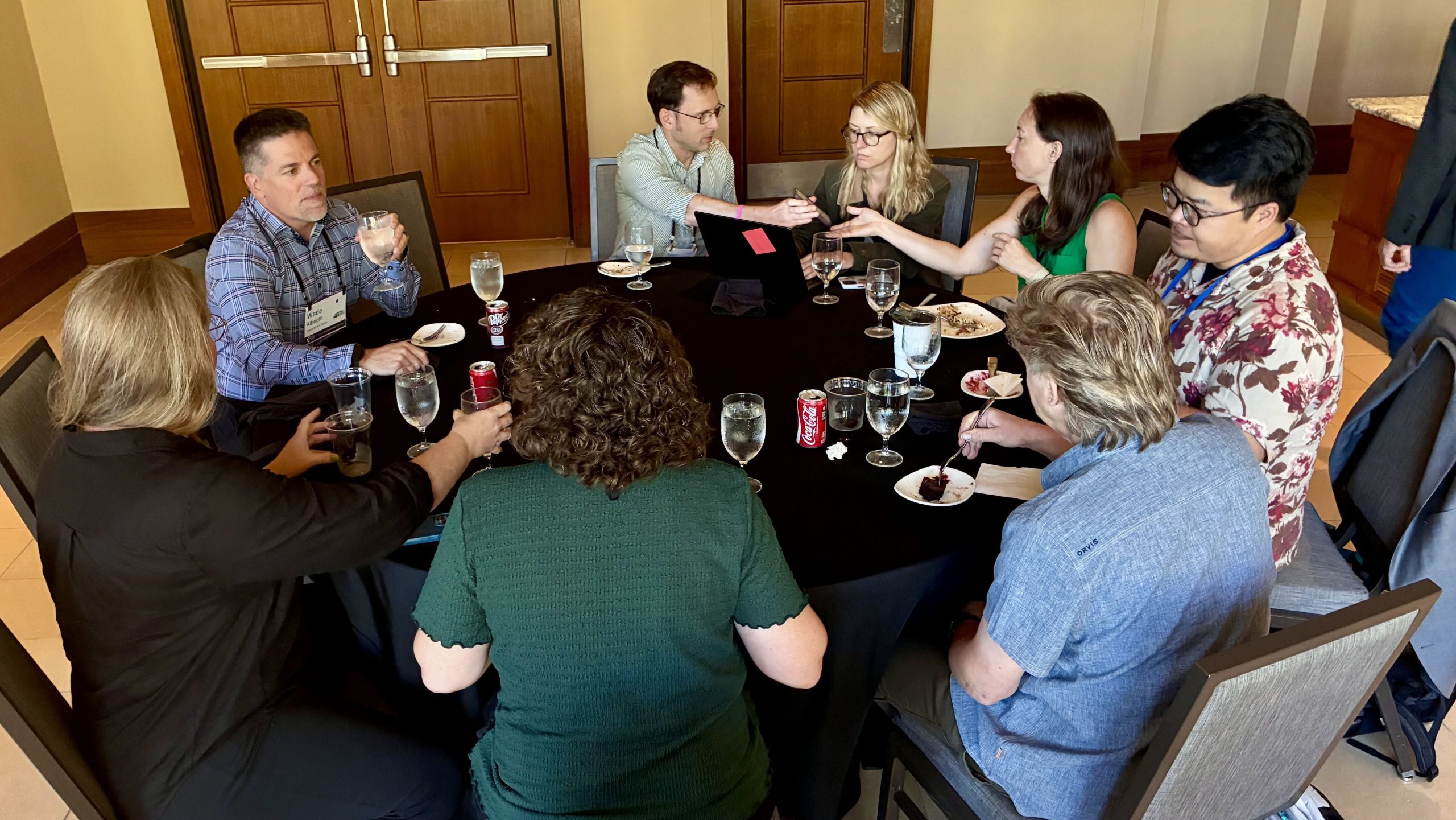
When it came to technical focus areas, three clear themes dominated conversations:
- AI/ML Readiness: tackling hard infrastructure questions, focusing on “AI-ready data,” automated metadata extraction, trustworthiness, and AI data governance.
- Metadata, FAIR & Standards: essential discussions on cross-repository interoperability, microschemas, and implementing FAIR (Findable, Accessible, Interoperable, Reusable) data standards.
- Cloud-Native Architectures: practical deep dives into Zarr v3, GeoZarr, ARCO (Analysis-Ready Cloud-Optimized) data, and Earthdata Cloud integrations.
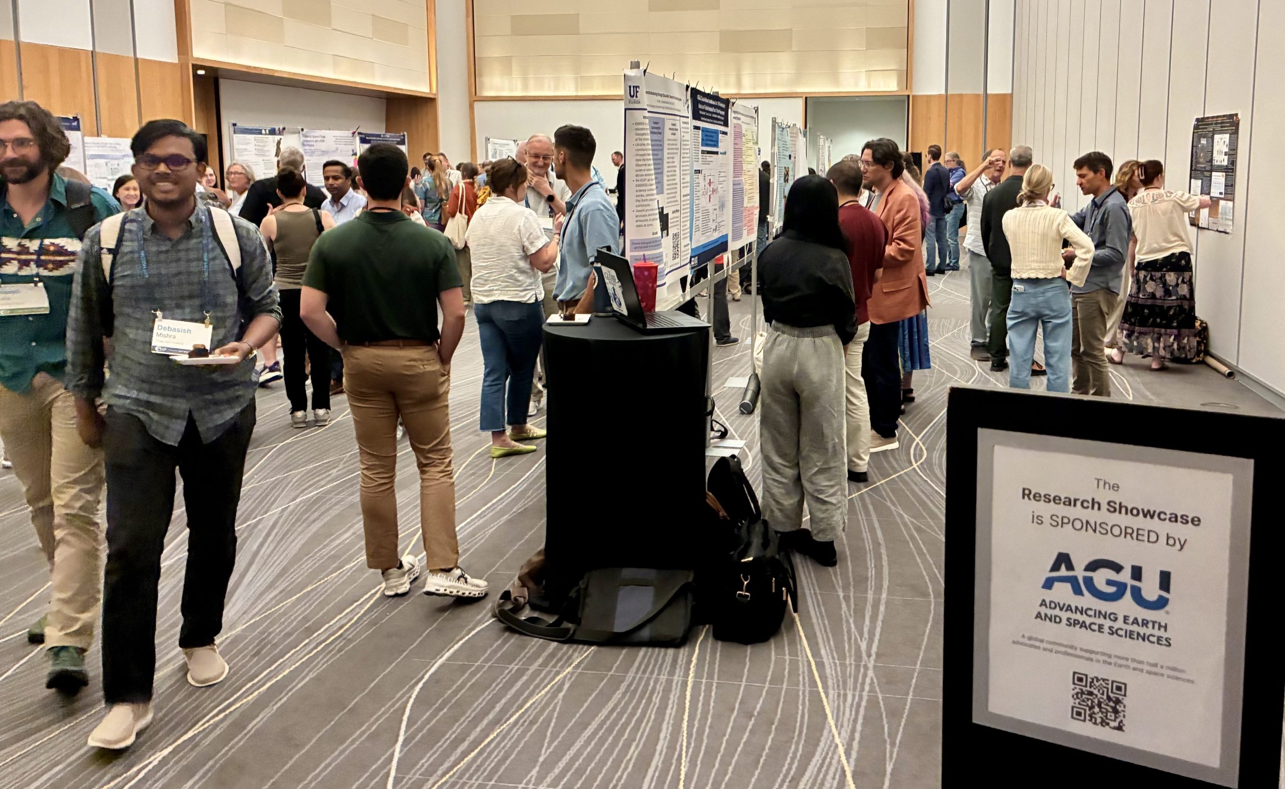
Active participation was exceptionally high, with nearly half of all registrants (144 people) serving as presenters or session leads, alongside 42 poster presentations and 16 live tech demonstrations during the Research Showcase.
Inspiring the Future with the Teacher Workshop
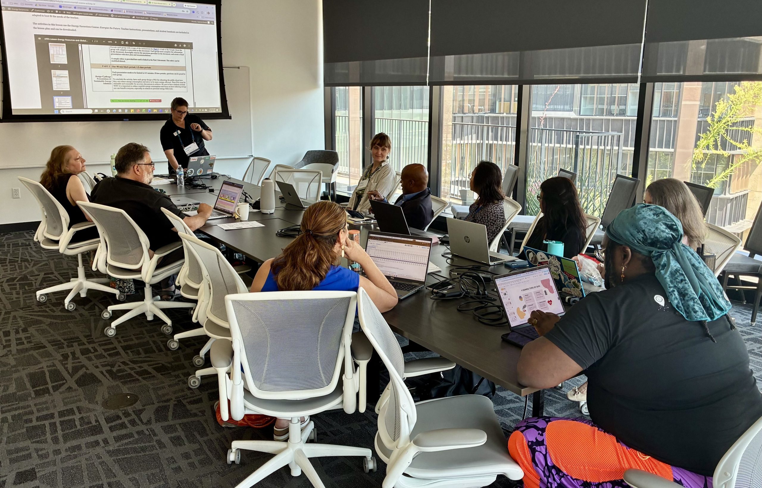
A true highlight of the week was the dedicated focus on education. Through the Teacher Workshop (led by the ESIP Education Committee), nearly two dozen educators and K-12 teachers engaged virtually and in-person to explore how authentic Earth science data can be brought directly into the classroom. By translating complex 3D data, climate models, and open tools into hands-on lesson plans, these educators ensure that the next generation of scientists and data-literate citizens will be ready to tackle future planetary challenges.
Thank You to Our Community
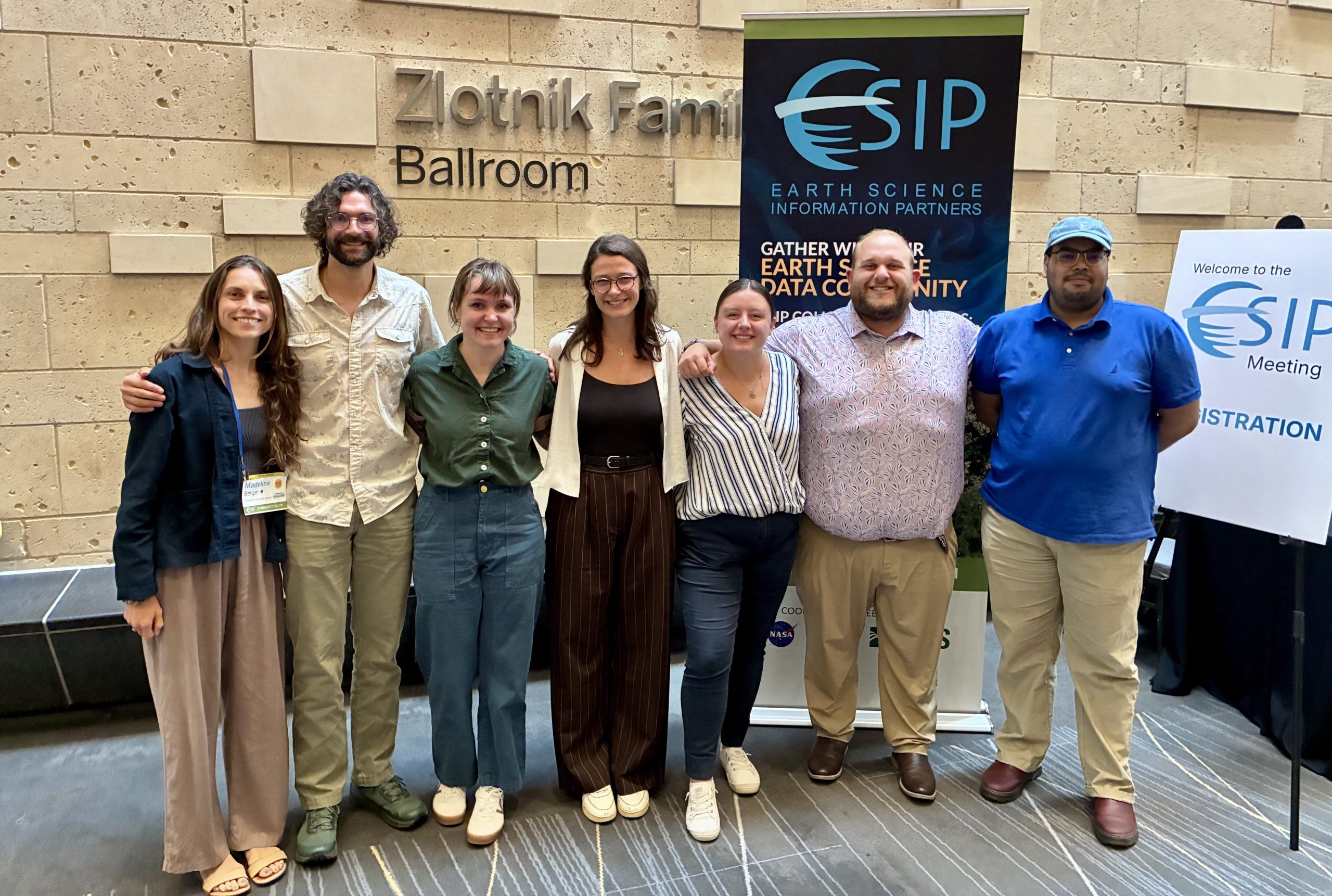
An event of this scale and impact would not be possible without our Federal Funders: NASA, NOAA, and USGS. In addition, the Meeting is only successful through the incredible support of our community, Cluster leaders, session conveners, partners, and generous sponsors: Esri, AGU, AWS Open Data, Radiant Earth, Science Systems and Applications Inc. (SSAI), and Texas Advanced Computing Center (TACC). In particular, our Community Fellows were integral to pulling this conference together and helping it run smoothly.
Looking Ahead
As we follow up on new connections and prepare for our 2027 Meetings, we keep in mind that the ESIP community does not stop when the Meeting ends. Our real work happens throughout the year across our Clusters and Committees. Whether you are a long-time contributor or one of our 115 new participants, we invite you to jump into an upcoming call on our Community Calendar, start a dialogue on Slack, and help turn Meeting ideas into action.
Catch you online and at our next Meeting!
ESIP (Earth Science Information Partners) is a community of partner organizations and volunteers. We work together to meet environmental data challenges and find opportunities to expand, improve, and innovate across Earth science disciplines. Learn more and sign up for the weekly ESIP Update for #EarthScienceData events, funding, webinars and ESIP announcements.